
Djibouti: Lake Assal, 155 meters below sea level
Lake Assal, located in the center of Djibouti in the Afar Depression, lies 155 meters below sea level. This altitude makes it the lowest point on the African continent and one of the country’s most distinctive natural sites.

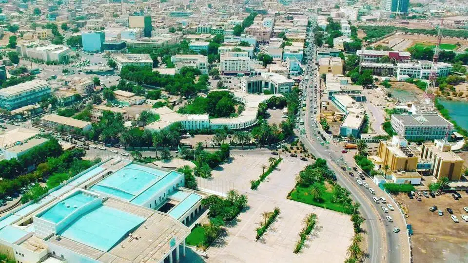
The body of water occupies a closed basin about ten kilometers from the Ghoubbet. Seawater infiltrates through volcanic faults to the lake, while intense evaporation concentrates salts and causes the precipitation of halite.
According to regional development documents dedicated to Djibouti, the free water surface covers about 54 square kilometers, and the surrounding salt deposits extend over several tens of square kilometers. The blue hues of the lake contrast with the white crusts and basalt flows of the Assal rift.
The Djibouti National Tourism Agency describes the site as accessible in about an hour and a half from Djibouti City. However, the heat, lack of shade, and isolation require preparation for the trip, ensuring sufficient water supply, and checking local access conditions.
A Basin Shaped by the Afar Rift
The lake is situated in an area of active tectonic extension connected to the Afar rift system. Subsurface fractures facilitate the circulation of waters between the Ghoubbet and the Assal basin, while hydrothermal activity and volcanism shape the surrounding landscape.
A scientific study published in the journal Palaeogeography, Palaeoclimatology, Palaeoecology describes the lake as the hydrogeological low point of a chain of closed depressions. It identifies marine infiltrations as its main current source of supply, with rain contributions remaining limited in this arid environment.
The salt from the lake has long been a resource for the nomadic populations in the region and for trade with Ethiopia. The site is also among the protected natural areas mentioned by Djiboutian authorities and has been proposed for designation alongside the Ardoukoba volcano.
Visitors do not enter a freshwater lake: its high salinity, occasionally sharp salt crusts, and elevated temperatures call for following the guidance of local guides and operators on-site.

Comments
Comments load when you reach this section.